

I guess a better question is could I have continued? I probably could have but for how long? Other things besides my feet were also flowing through my thoughts. I had lost 30 lbs. I didn’t feel bad but others had noticed and had said so. It seemed my lack of calories effected my total miles each day. My legs seemed strong enough to continue but I didn’t seem to have any energy at the end of the day. I was trying to eat all I could but it just wasn’t enough. I estimate I was taking in 2000 to 2500 calories a day. I will need to add double that going forward. In the northern half of Shenandoah I was able to supplement my diet with burgers and fries. This seemed to help with my energy in the afternoons. My nutrition needed a reset as much as my foot. I started to take look at some other things as well.
I’d missed some important milestones in my grandchildren’s lives. This affected me more than I anticipated. My retirement had given me the opportunity for the first time to spend all summer with them as well as both of my daughters who work in the school system. As for retiring I now think that I left for this hike a little too hastily. Although there wasn’t any other acceptable option, I could have used more time to settle into my new life as a retiree.
I thought about my decision to start this journey. What was the journey all about? The injuries, weight loss, and these other concerns needed answers. I am the type of person that benefits from time and separation to evaluate things when making difficult decisions. Some experiences in life aren’t fully grasped until after the fact. The trail is one of those. Looking back at my 5 reasons for wanting to do this hike revealed some answers. These are thoughts that began on the trail and continued as I reset my journey.

#5 Challenge This was harder than I expected. The hikes I had done last year proved to be mostly for testing gear. Nothing I experienced last year prepared me for the daily mental and physical effort required to keep moving forward. The amount of ups and downs is staggering at first. Week three was my hardest and I almost quit right then. The toll on the body, not just the feet is real and persistent. Many of the aches come and go as you walk. But especially at my age you expect some discomfort throughout the day. It’s just a matter of degree and if it warrants special attention. I don’t mean to imply that hiking the AT is only about the pain to get to Maine. Many moments of each day are simply exhilarating. The body will generally recover and adapt to what is being demanded. At the end of each day when the climbs and miles are done there is satisfaction and pride in what was accomplished. The ups and downs are emotional as well. I think that is what makes this endeavor so enticing. A day on the trail can be filled with more life than a month back home. I need to process that thought some more as I reflect on the experience. I travelled 415 miles in 40 days of hiking. I feel the challenges I faced and experience gained sets me up for an even more meaningful journey ahead.
#4 Adventure My whole time hiking was filled with adventure. Every hour new people were met and even though we might have different goals for the day a comradery was understood and appreciated. The shared experience created a friendship despite few words. The scenery was always changing and new. Trail life though routine required constant evaluation as the conditions changed. Moving forward each day insured that today would be the first for something. What would that be?


#3 Relationships This is a hard one. I am disappointed because my intention was to be gone for six months and though I knew injury was a possibility, I didn’t entertain that it might actually happen. I had hoped to meet like minded people on the trail and I did. Because of how and where I chose to start this hike, many of the people I met had many more miles and experience then myself. They tended to know each other and hiked twice as many miles each day. I learned from all of them and received kindness and encouragement. Some were hiking a similar hike as myself and these I got to know really well. I also was surprised how small interactions with section hikers influenced my hike. These hikers were only out for a couple of weeks yet just by our conversations over lunch we connected. I appreciated their approach to the trail and came to see their experience as a bridge between my first backpacking trips and this attempted thru hike. Each has it’s benefits. All of these relationships were very special.
I mentioned earlier family relationships. These especially were on my mind. I knew by the end of Shenandoah I needed a break. I knew I had to leave for at least a few weeks and sort out all my physical issues. How could I accomplish all of my goals? I started to look at the positives of changing the journey.
#2 Mindfulness
The first thing you learn about Mindfulness is that it is intentional. Hiking insures that one stays in the present by focusing on one step at a time. It’s the next step that is most important. Then the next step becomes the present and the last one becomes the past. What is important is always the issue facing you at the moment. When hiking the mind tends to wander and this isn’t bad if there is also a constant coming back to the present. It is in the present that decisions must be made before moving on. If the past or future are littered with worry, doubt, or fear how can one make good decisions. I tried to make the decision to change my hike with these things in mind.
#1 Spirituality I hiked mostly alone with time to open my mind to what the Spirit had to say. It centered around faith and trust. There were many new experiences and possibilities that might go wrong. I worried about my pace, my capabilities, even getting lost. This happened to me several times though thankfully not for long. Water was at times in short supply. The terrain was often unsafe, it seemed a fall was only a step away. Two or three times a day an ankle turned or a foot slipped without incident. Storms presented their own set of worries and concerns. Also being alone at these times left me feeling vulnerable. Like most of life we do not have control of these things. I responded with humility and thankfulness. I leaned heavily on my faith and trust that I wasn’t alone. I felt the presence of the Spirit always with me. Jesus was there beside me reassuring and guiding me. The hours each day spent open to this message fostered a deeper understanding of the nature of God and my relationship to him. It also gave me confidence not only on the trail but direction as to what I should be doing when I go back home.


I’m still disappointed about leaving the trail but it was a tremendous experience. It touched on each of my 5 reasons for wanting to make the attempt. In fact by resetting my journey I’ll realize my goals more fully. Spend more time with my family and have an opportunity to reach out in the community and start walking my journey here at home. The trail will be there when I am ready to go again. The new plan for the trail has benefits the first one ignored. I’ll explain these in my next post. I thought of each of you while on the trail and used your encouragement along the way. Wishing you well as continue on your journey!


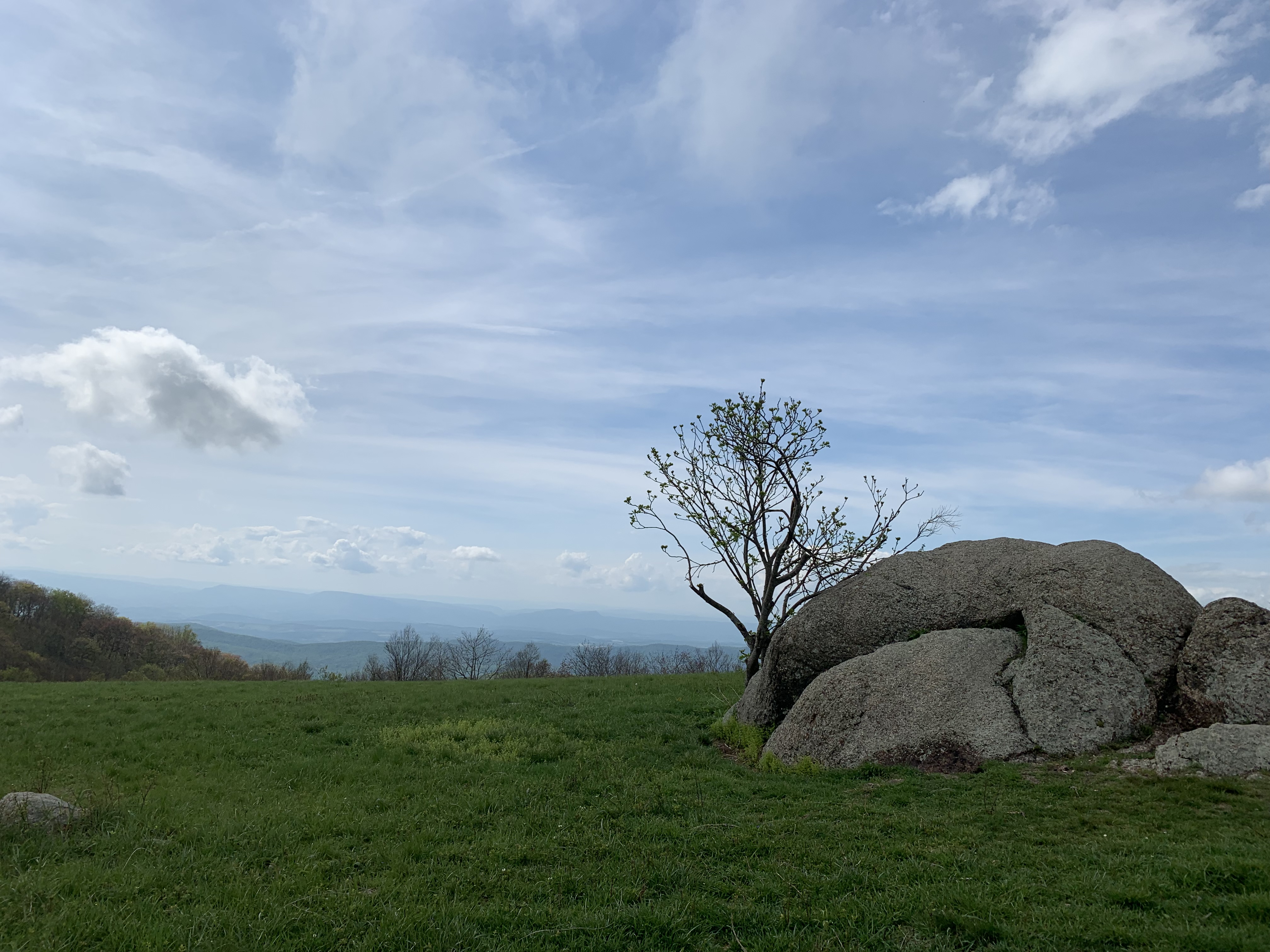
 Today’s anticipated 14 mile hike would provide more views than any other day on the trip. Lunch was only 8 miles away at Skyland Resort. After an initial 500 ft. down and 600 ft. up we ridge walked up and down for 2.5 miles. Along the way there were views at Franklin Cliffs and Crescent Rock. Skyland Resort had an excellent if not cheap dining room. I loaded up with over 2000 calories. while eating, Jed had come up with a plan to shuttle into Luray and get a new pack. His shoulder strap broke a week ago and was causing back issues. Steak N Shake and I looked at the plan he had prepared for the last week of his section hike. I noted he planned for long miles on a couple of days. At least one day was 18 miles. He had only been on trail 3 weeks and I convinced him of an easier option. If we all went to Luray we could restructure his timeline more reasonably and still arrive in Harpers Ferry on schedule. We could get a needed resupply and a shower at the Luray Caverns Motel. In reality the resupply turned out not to be that good. Stopping for the night did help me though because I was beginning to wear down. Though I was hiking better, my foot injury had begun to involve my arch and the trail was getting much rockier the last few days. I wasn’t able to increase miles because of lack of energy throughout the afternoon even though my pace had picked up. I needed a rest and started to think of when that might be. Steak N Shake had made a proposal and I debated it in my mind. More on that later. The next day we shuttled back to Skyland Resort and started for Front Royal Virginia at 10:30. Front Royal is the northern boundary of Shenandoah Park. 37 miles away. Pass Mountain Hut was our first stop 11 miles away.
  There were at least 4 views along the way of the Shenandoah Valley. The weather was comparatively cool to what it had been. I had lunch at the Pinnacles picnic area. Tuna fish on a tortilla with cheese and mayo, chips and some energy bars plus a mix of nuts and raisins. Later I stopped at the Byrd’s Nest Hut for a break and snack. I’m trying to eat something every few hours. Afterwards 3 miles from Pass Mountain Hut I negotiated a really rocky section up to Mary’s Rock overlook.
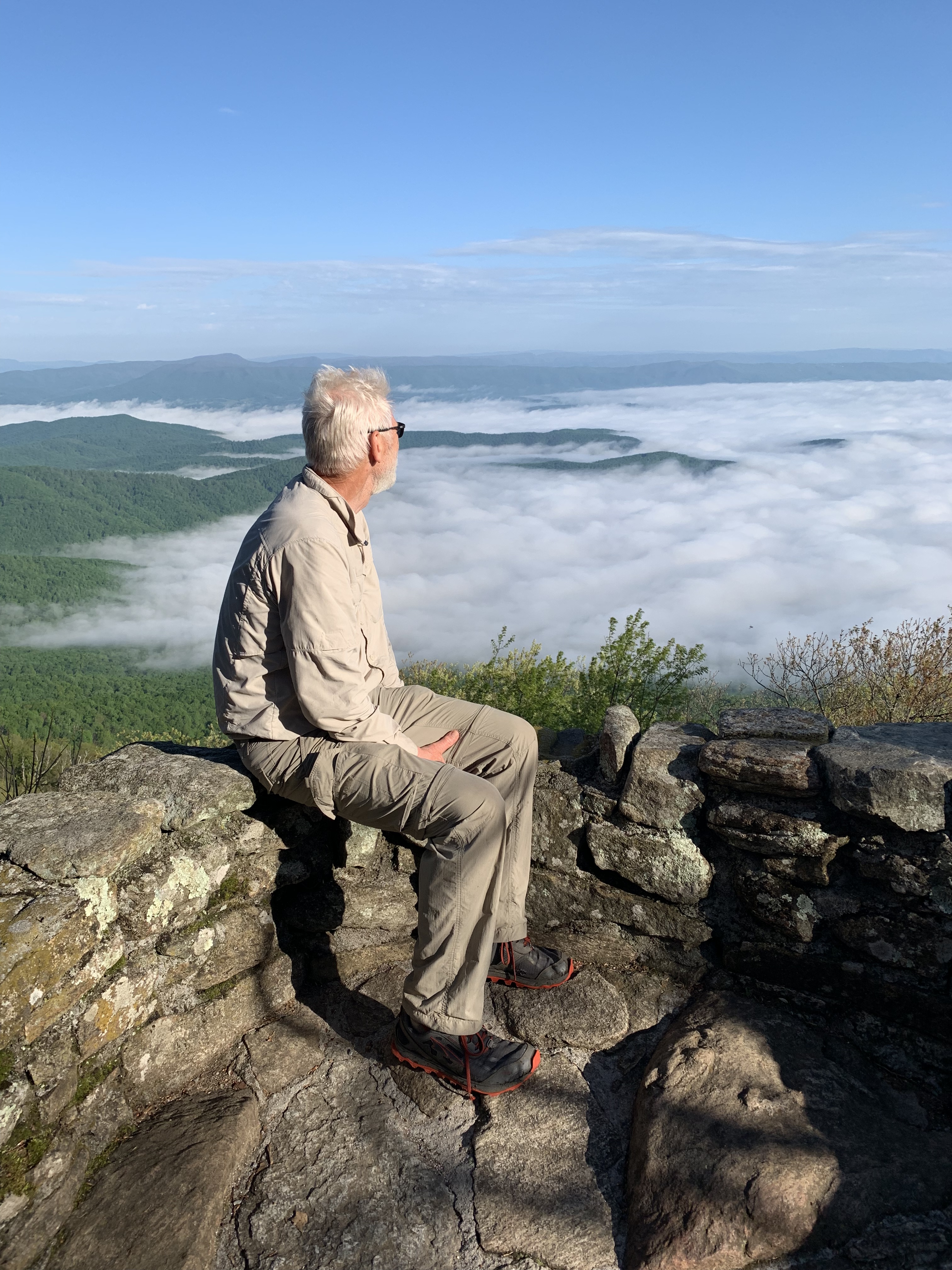
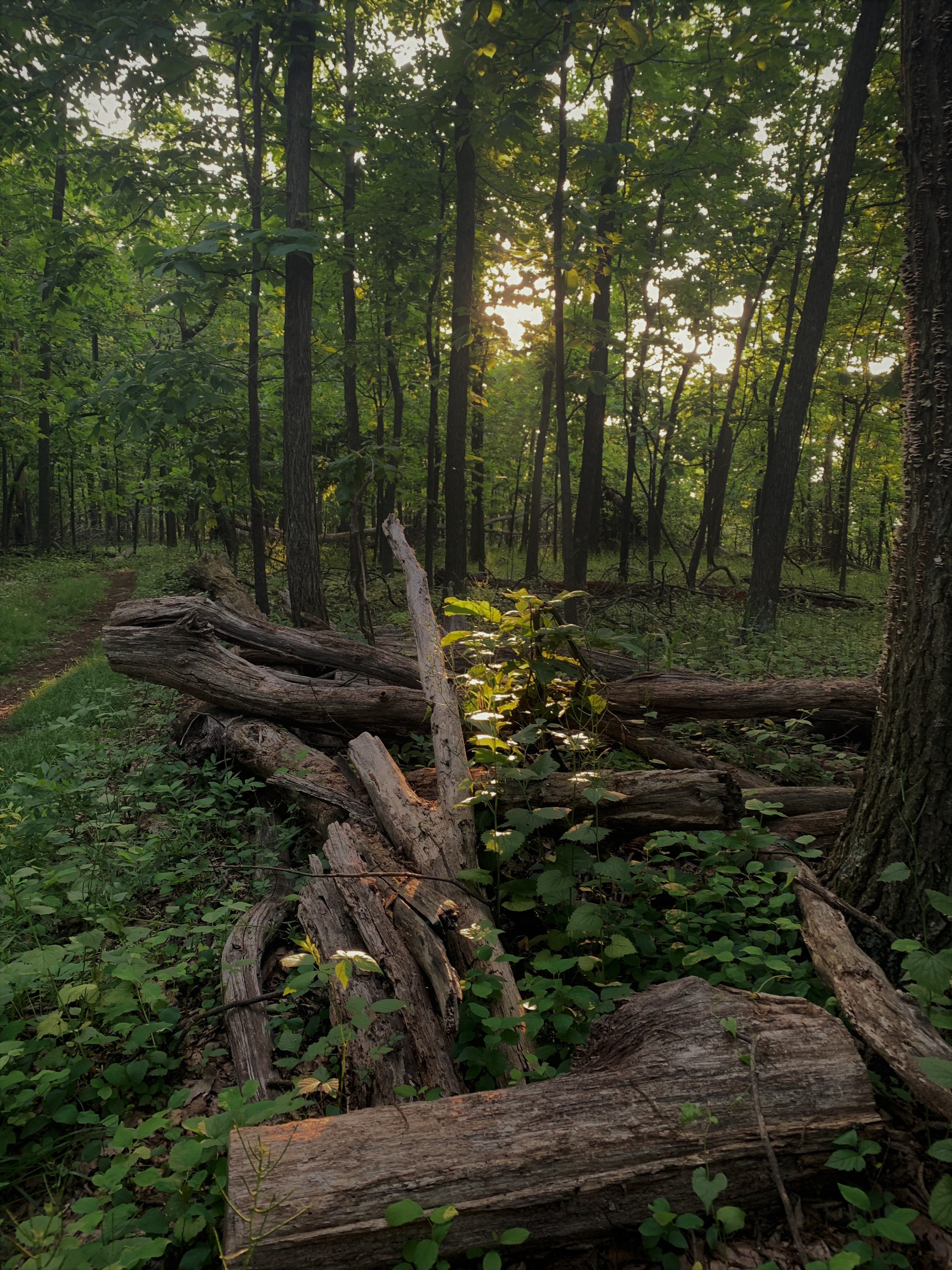
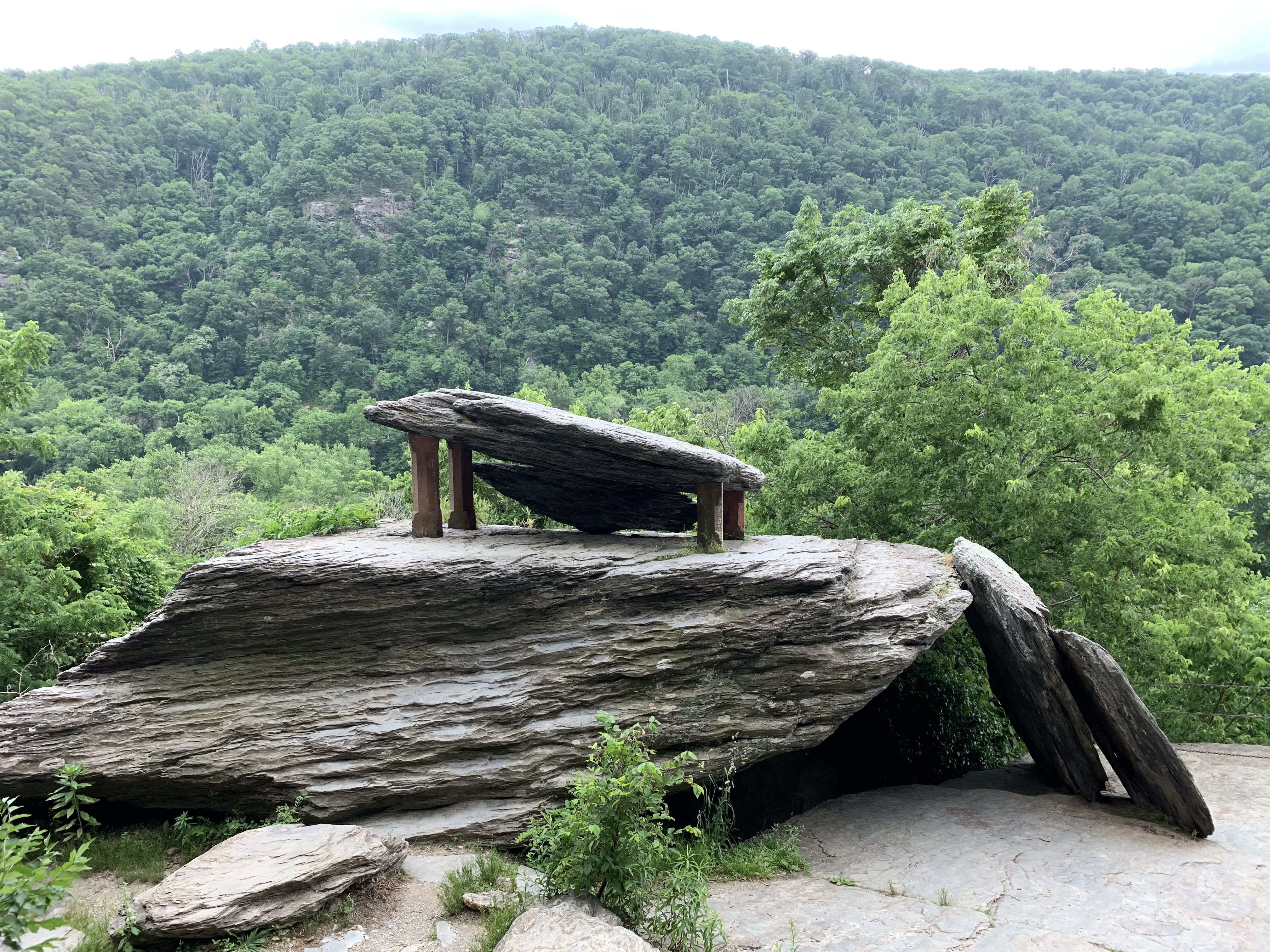
 An impressive rock formation. Then it is steeply down 1200 feet to US 211 and Thornton Gap. Followed by a 500 foot climb to the Hut. What I have found is anytime you climb to the top of a mountain or ridge there is a reason why those areas are higher than the surrounding areas. They are made of rock! Inevitably the last up or down is going to be littered with rocks upon rocks. Not complaining just a fact. I have learned to not expect anything else. I keep moving forward, often dividing the climbs into shorter sections which helps my attitude because I can measure my progress. It helps to know that I’m half way there or just 200 feet more to climb. Once at the Hut I set up my tent and had dinner. I rested well though bears were seen and heard around camp that night. I slept through it. Must of been tired. A deer wandered into camp during breakfast.
 They too sensed the storm and were in hurry up mode. I pitched in and handed tools or held ladders. These volunteers bring in the materials by hand as well as carry out any boards, metal roofing, trash etc. My thanks to them for all they do. Finally the crew chief told everyone to get into the shelter as the storm was upon us for real. We gathered all the tools and moved to the back of the shelter. My hiking companions arrived just in time.
  The rain and wind was pretty bad. Trees were bending toward the ground and then snapping back to bend the other direction. Within 10 minutes a nearby tree top snapped and came crashing down almost hitting the new picnic table the guys had built the day before.
 Within 45 minutes it was over and worked proceeded for another hour. They left and we settled in for the night. several more hikers showed up and though I wanted to be one of the first to try out the newly remodeled Tom Floyd Shelter I decided to set up my tent before the good spaces were reserved. I sleep better in my tent and the chance of a storm seemed small so I vacated the shelter.
 Thanks to Flip for the kindness! It changed my attitude and restored my energy for the day. I crossed US 522 and climbed 850 rocky ft. before another rocky steep downhill. On the way down my knee locked up and I almost hyper extended it as I stumbled forward to the Jim and Molly Denton Shelter.
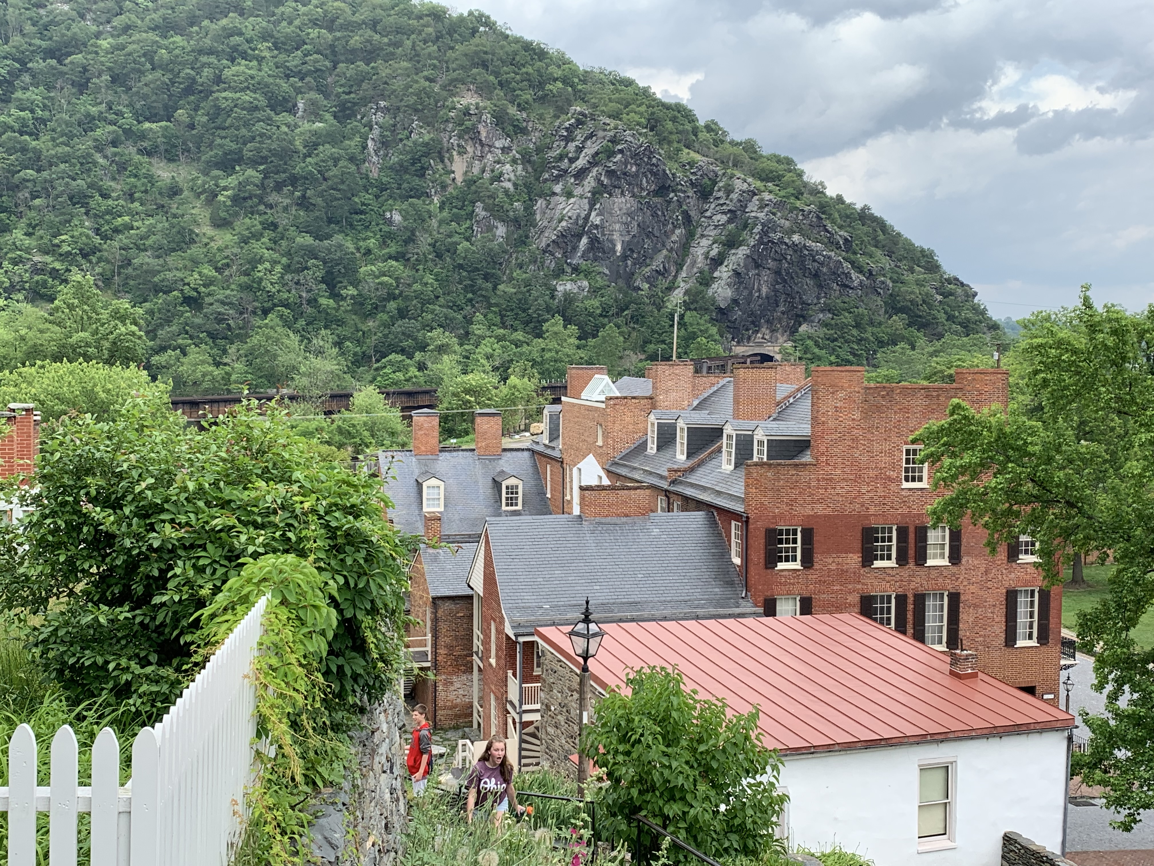
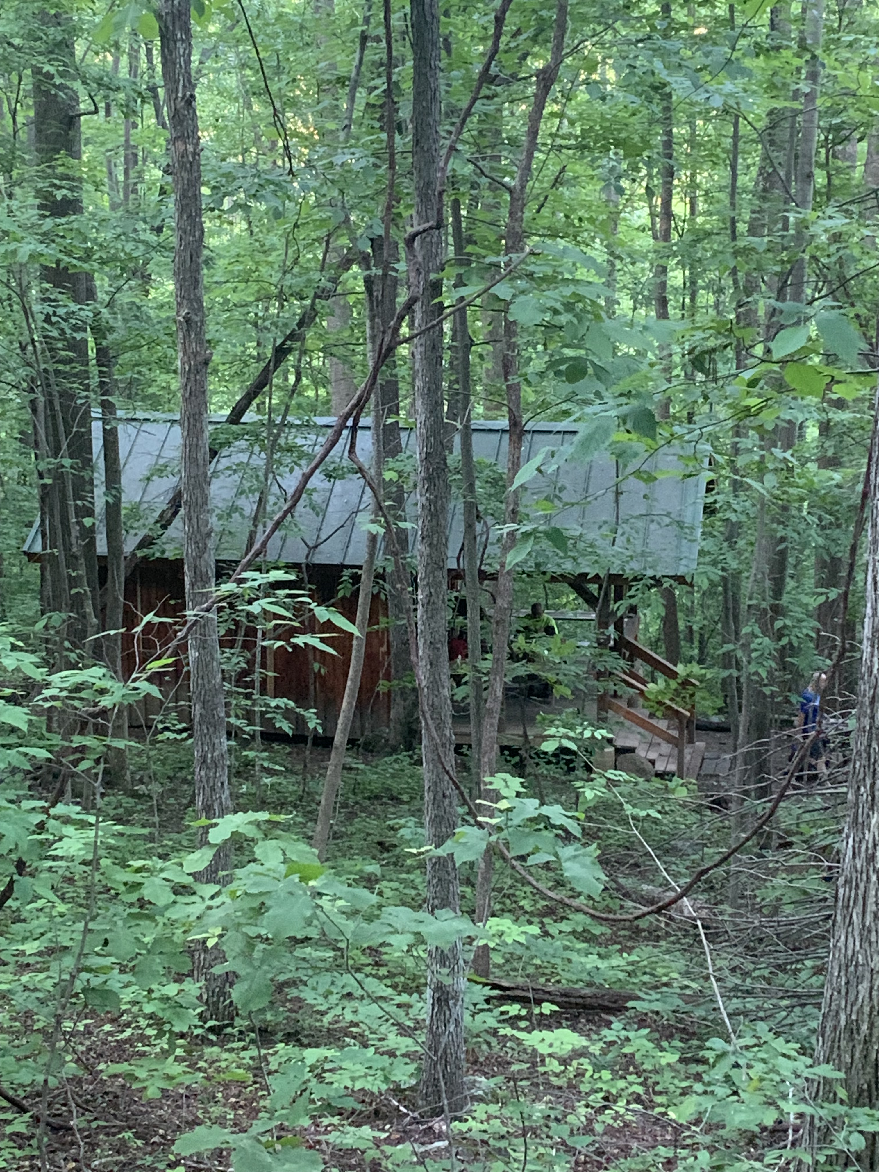
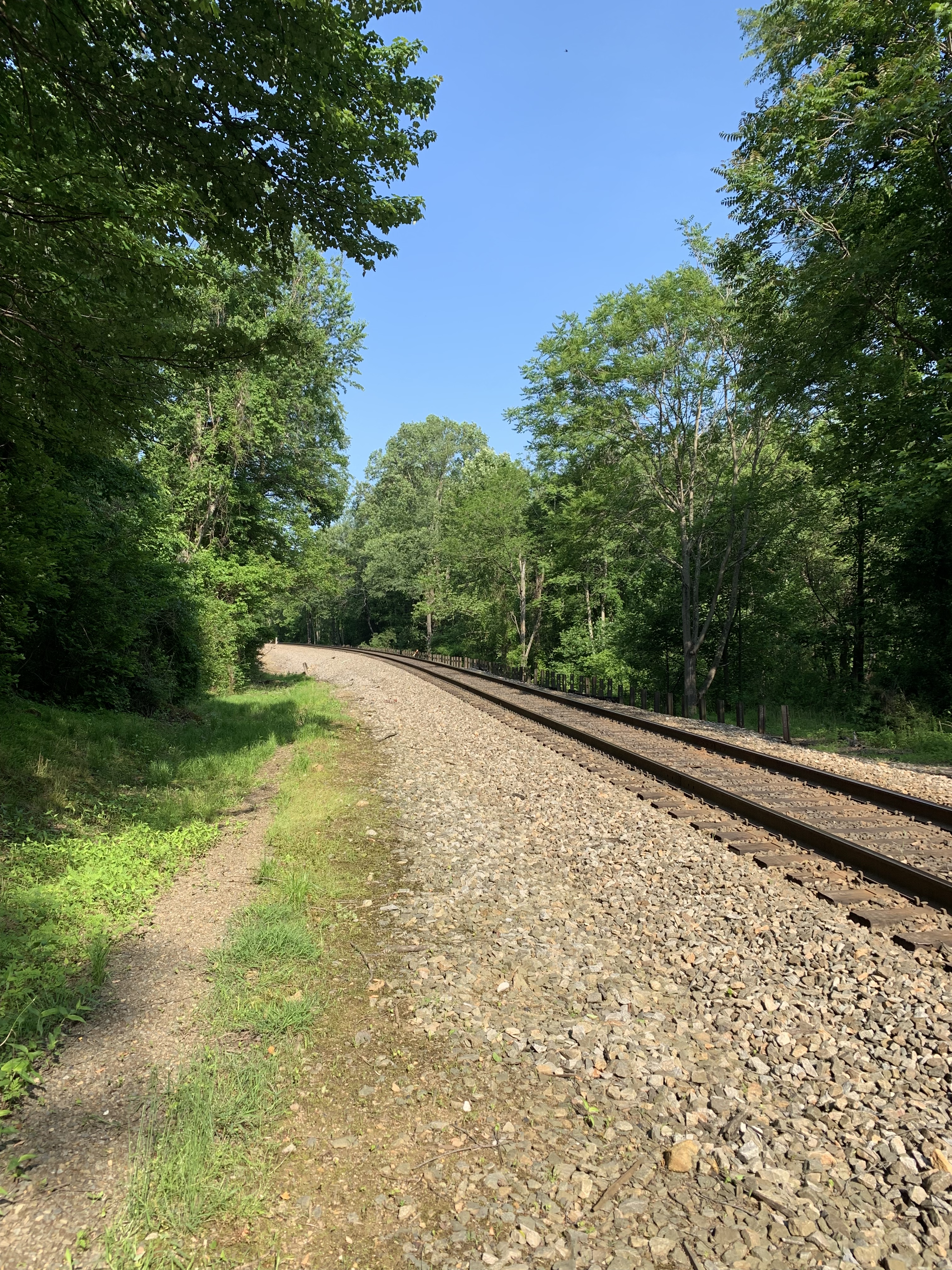
 This was a special shelter. It had a solar shelter, horse shoes, Adirondack 3 person bench/chair, a covered deck and a pavilion over a large picnic table. Later General Lee arrived as would Galileo, Unicef, and Hercules(2014 thru hiker) bringing more Trail Magic! I immediately took a shower and set up my tent. It had ben a good day but the rocks had once again destroyed my feet. Now both seem to have the same issue. At times they seem ok but never better and slowly they seem to get worse. Sadly I have to weigh all my options. I thought about my goals for this journey, my health, what I missed back at home. I knew I needed time off but wasn’t sure how long. I have to figure out how to carry enough calories. I was hiking better but for how long? I also had been scheduled for dental surgery before I left. I had planned to go back 200 miles ago but put it off. That wouldn’t wait much longer. I’ve decided to suspend the hike for the summer months and during the time off answer these questions and come up with a plan for the rest of this year and then finish next year. More on that in the next post. I will go on to Harpers Ferry and Steak N Shake will drop me off in Roanoke on his way home to Savannah. My friend Paul lives there. At that point I will rent a car to Chattanooga and regroup, rest, rehab, take care of the dental issue, but most of all reflect on what I learned and hopefully a strategy to make this work. I still want to see each of the states. I’ll be a section hiker but I don’t have much time so they will have to be long sections. Hopefully I can complete this next year. It’s 50 miles to Harpers Ferry West Virginia. That is the home of the Appalachian Trail Conservancy. I’ll stop by there and tell them of my plans. Maybe they will have some ideas. I’m disappointed but not quitting or giving up. The journey will continue… Stay tuned for the finish of this part and news of my plan!