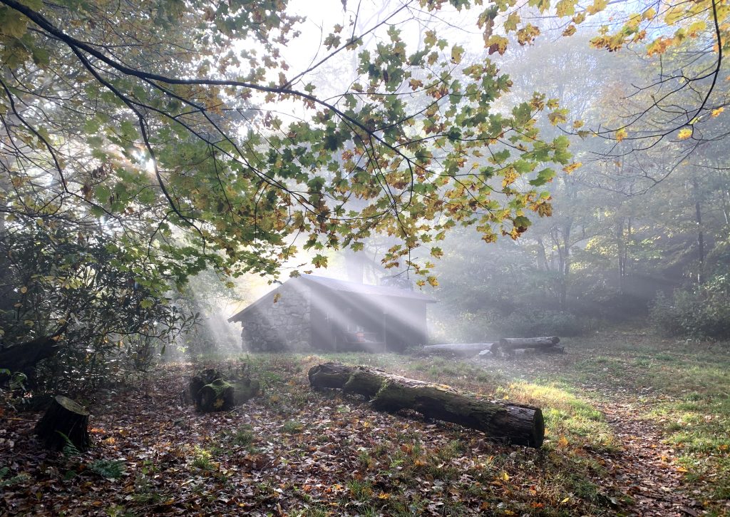
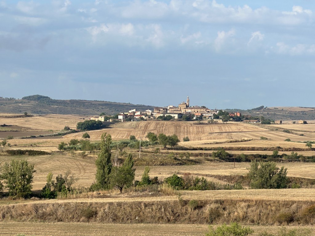
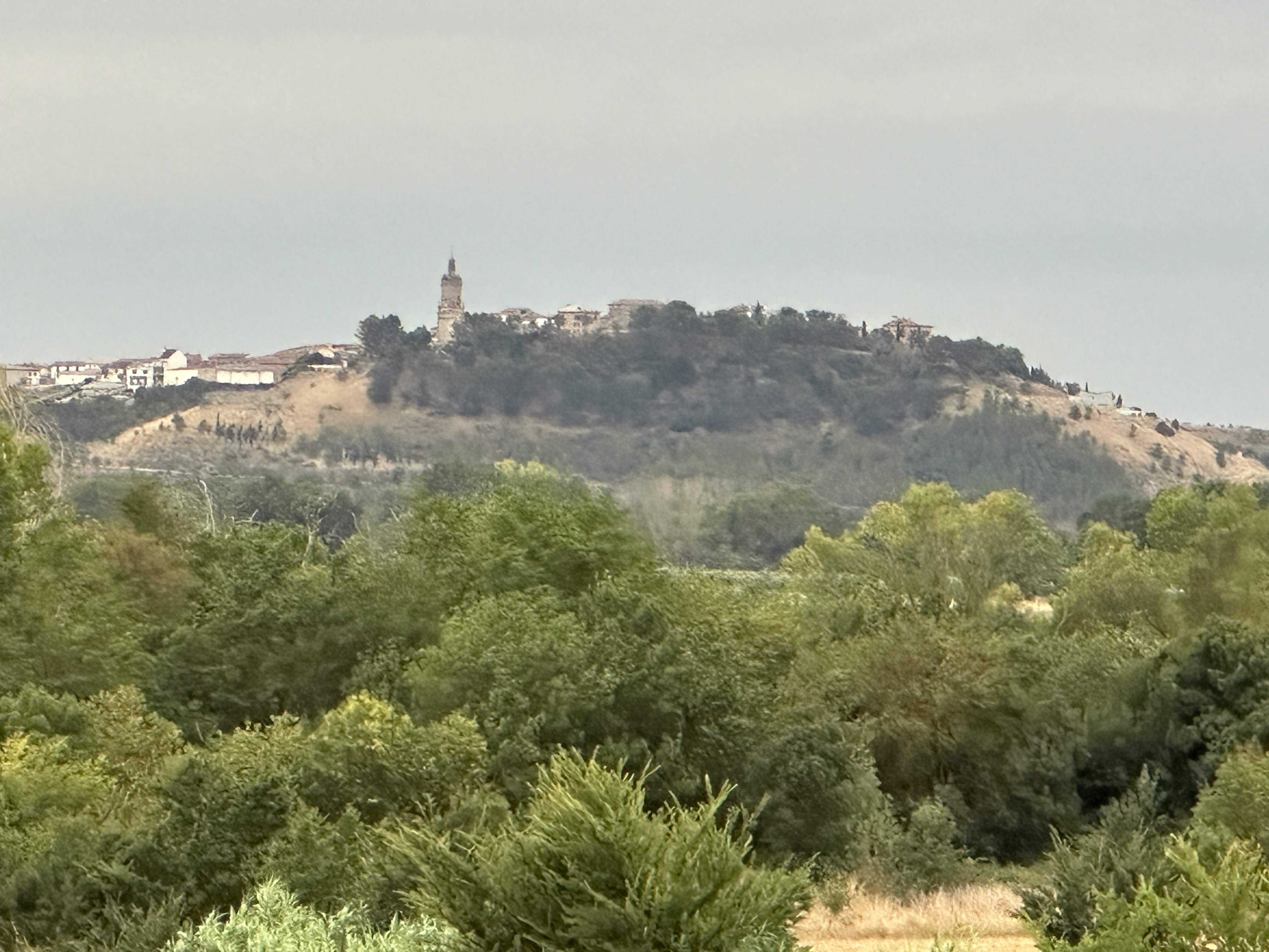
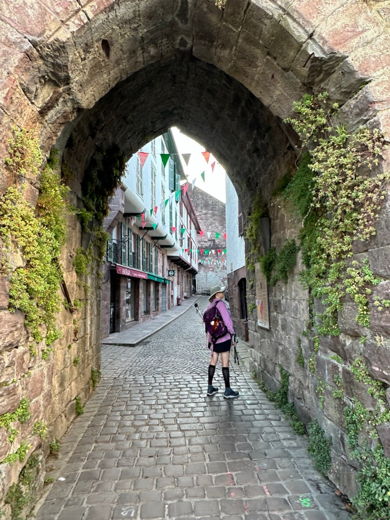
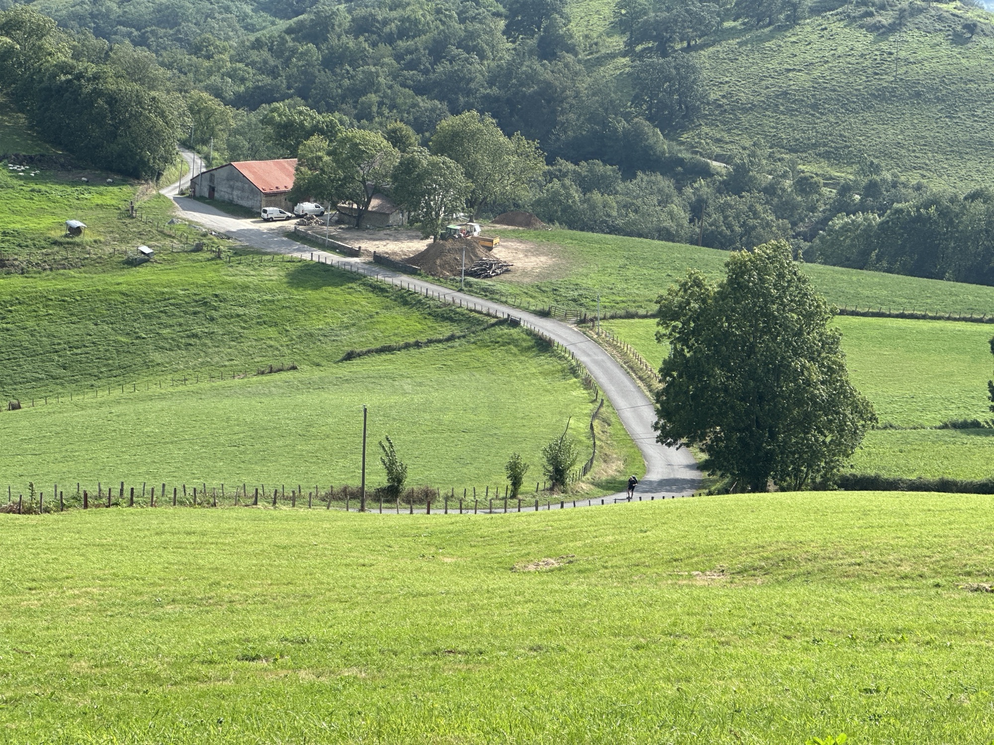
Solo for the last time. It’s been over 6 months since I’d written those words, and even more since I’ve been on the Appalachian Trail. My plan of retiring from work and resetting my life by walking in the woods for six months, fell short by 1750 miles. Not exactly a success by most standards. Yet change within isn’t measured in miles. What I was seeking was a change in the way life was experienced. It has done that! it’s a process that continues to this day. The inner growth actually started way before the walking. Though I still have 1750 miles to walk, I’m starting from a new place. I’ve travelled further down my own spiritual path. Not only have I seen the beauty of our natural world but I recognize that every one has a place within themselves just as beautiful and awesome as any forest or mountain on this earth. Yet there is more to discover.
Though the hike was abruptly halted, it might be better understood as simply rerouted. Each of the five of original goals I started with have become a part of my life.. I have always understood that life is a continuous ongoing journey. Each day is another attempt.. Goals are simply things to work toward. The steps getting there are what matter. When attempting a long hike the experiences of each day are a life of their own, tomorrow starts another. So what’s new? As I’ll explain in a minute, the events that rerouted my journey changed my whole life. More than I could possibly have imagined. Once I stopped walking each day my body took a few weeks to recover. I had mixed feelings about the aborted attempt. I looked at what happened positively one day and the next wished. I’d kept going. It took awhile to process all this. Remember I had retired from working and immediately left for the trail. I hadn’t planned to be home for another four months. I spent the time planning my next steps. I’ll admit I was a little disappointed despite having made the correct decision to come home. I took a month to rest my foot. I spent as much time with my grandchildren as I could, worked around the house and made plans to leave for the trail in September.
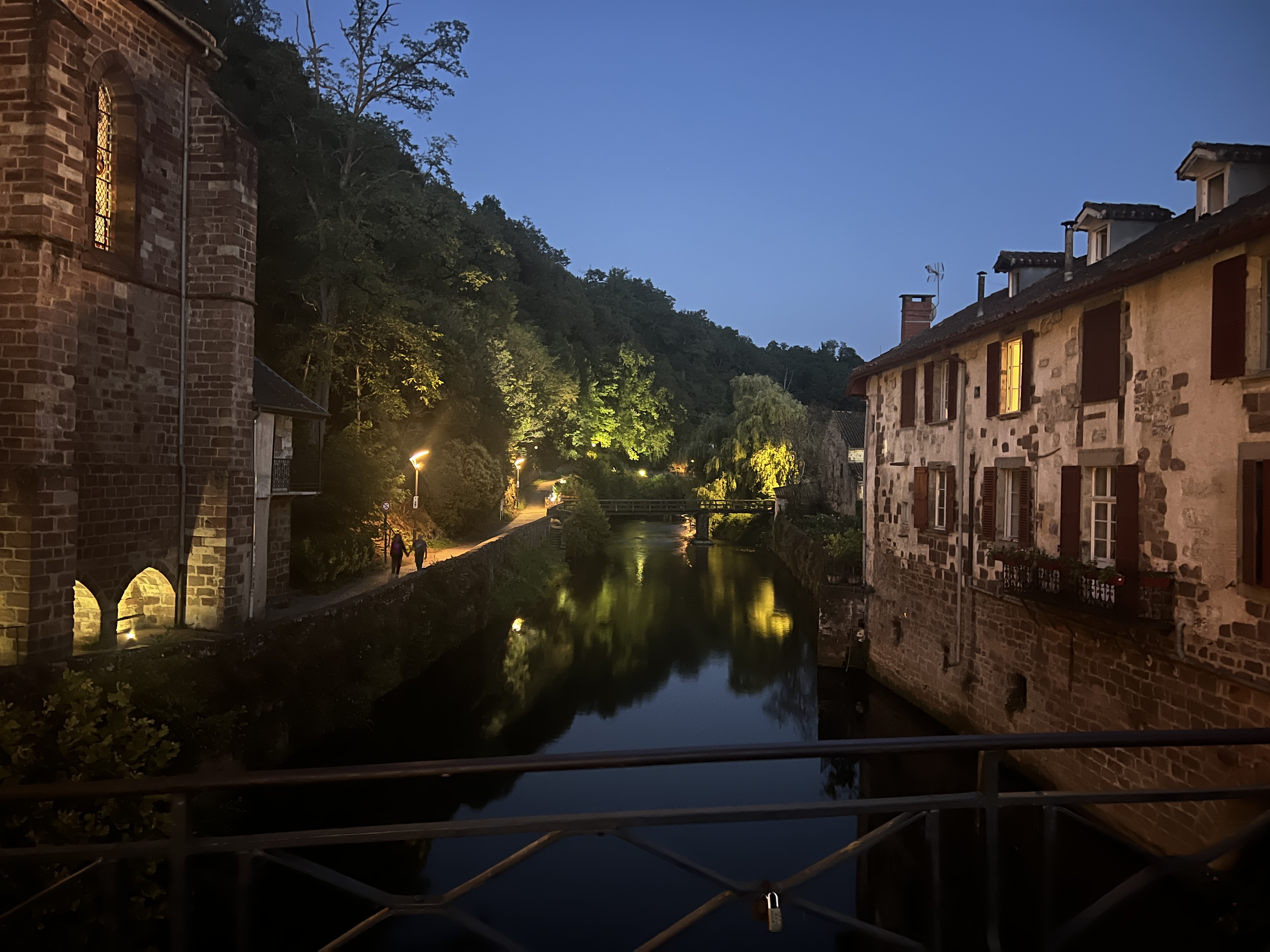
What actually happened could not have been predicted and I wouldn’t change it for a dozen successful thru hikes of the Appalachian Trail. I fell in love and got married! My journey led me to my wife. Our paths crossed because we were both seeking the same thing. We both found peace and joy walking in Creation. We were longing for a new purpose and a more profound life experience at the end of each day. The events that actually put us in each others sight took some time but once in motion the path became very clear not to mention very easy. And here is the story about how that happened.
Before planning for my retirement and and going on a 6 month long spiritual journey I began visiting a church which my daughter and grand children had been attending. I purposely didn’t seek to become very involved because I’d be leaving soon for six months on the trail. But being there each week started a refocusing of my faith. The messages of the sermons and the warmth of the members prepared my mind for experiencing more fully the lessons of the Trail. Up to this point I had been thinking the journey would begin with my first steps on the trail. But change happens constantly and we can intentionally be aware and open to the new messages and experiences of the present. In short we can grow from the inside. One of the members Carolyn, introduced herself as we were leaving services one Sunday. She had been on several big hikes out west and as well as some sections of the Trail. Another member had told her about my upcoming attempt to hike the whole Trail. We talked a few minutes and I gave her a link to my blog.
Two weeks later I was on my way. About the third week on an especially hard day, on a mountaintop in Virginia I looked at my phone. An email from Carolyn! It was an especially encouraging letter and boosted my spirits tremendously. When we first met I was excited because one of my goals was to meet new hiking friends. Maybe she would be one of them. This email was especially endearing to me because of the positive thoughts she expressed and no matter what decisions I made about the trail she wouldn’t think less of me. On that mountaintop I realized she was someone I wanted to get to know better. I kept walking for 200 or so miles before I made the decision to go home. Though I was terribly disappointed, knowing I could spend time with my family and maybe see more of Carolyn removed some of the sting from getting off trail. And now that I was retired the trail was still in my future.
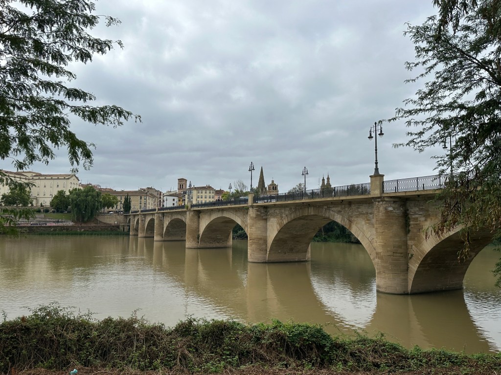
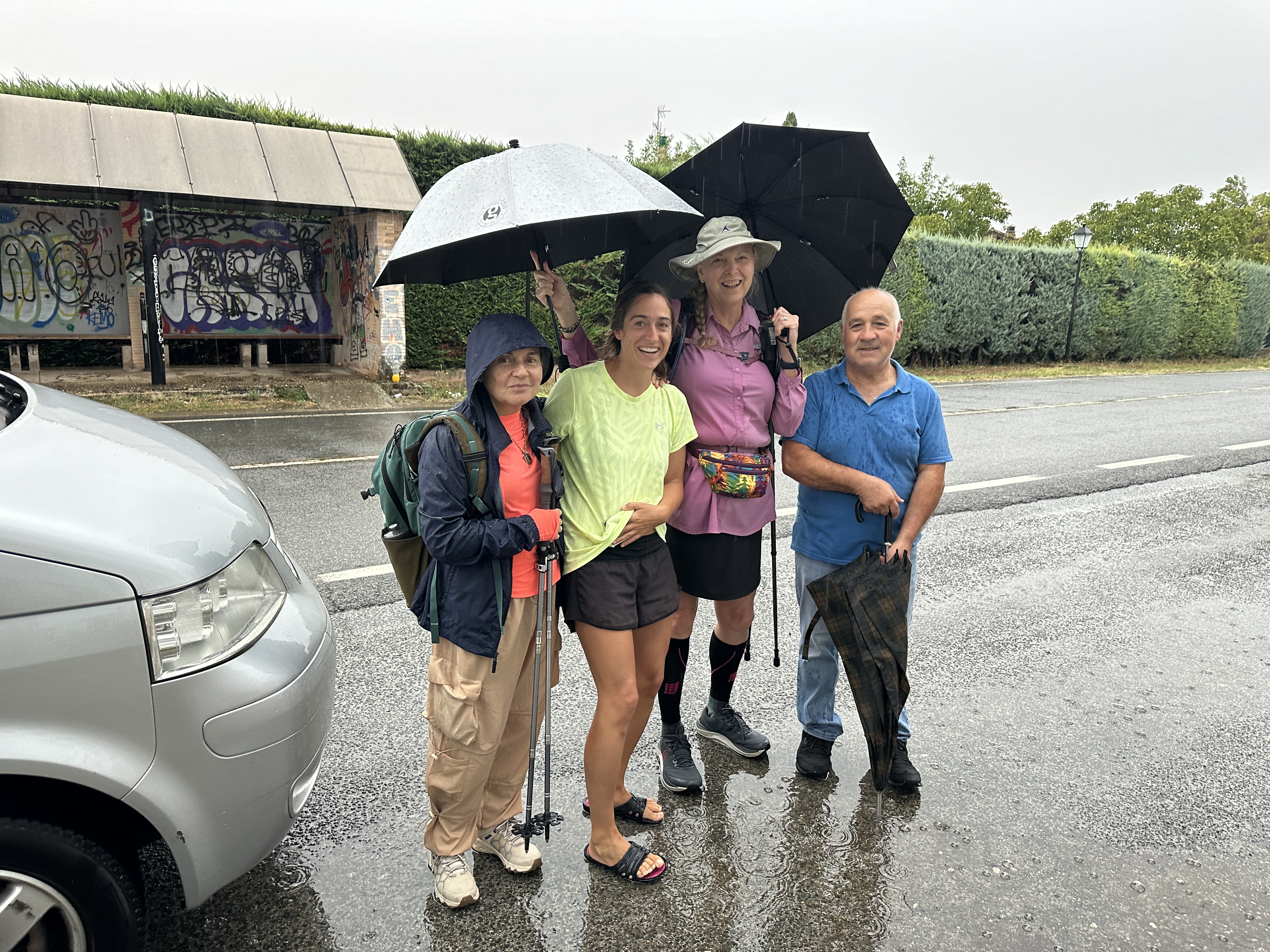
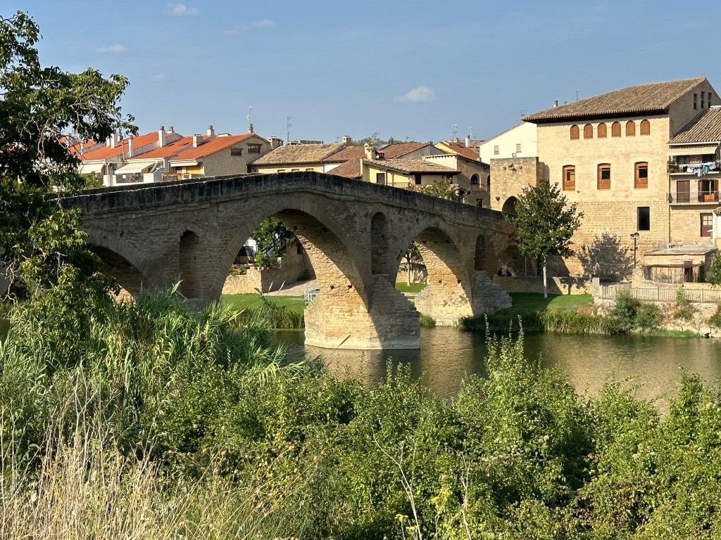
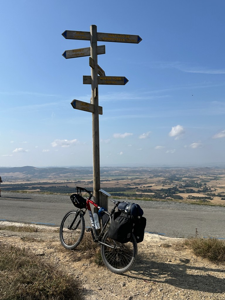
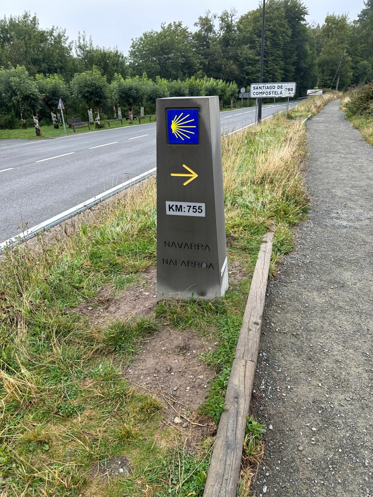
It was June and Carolyn was training for a five hundred mile hike across Spain. A true historical Pilgrimage. I was in awe to say the least. It was something I had considered and hoped would be next adventure for myself but not until after completion of the AT. She invited me on a couple hikes but it was awhile before I felt well enough. Her life was very full with work and the many hikes she had planned. I assumed with her busy life there might not be any room for me. At that time I was happy for her friendship and meeting more people who enjoyed hiking. Little did I know she was looking for a hiking partner too. We began spending lots of time together hiking and sharing many personal parts of our lives. I really began having feelings for her yet was quite afraid to reveal those and possibly end our now seemingly intimate friendship. Up until now we hadn’t done anything but hiked together. No dates, holding hands, not any expression of feelings for each other. Unknown to me she had been feeling all the same things as myself. She was waiting for me to make a move. She was about to give up on anything but friendship and even began praying that the answer would soon be revealed. That very day I expressed how deep my feelings went. With that out in the open we began sharing exactly what both of us had been thinking. By the end of the week we told my daughters and they both immediately began to cry. My daughter had known Carolyn for a year before I did. She then revealed that she had been praying for this to happen for a long time, even before I ever had joined the church. That night around a campfire we looked at each other and new we would get married. We even started planning the wedding. Remember we still hadn’t been on a date.
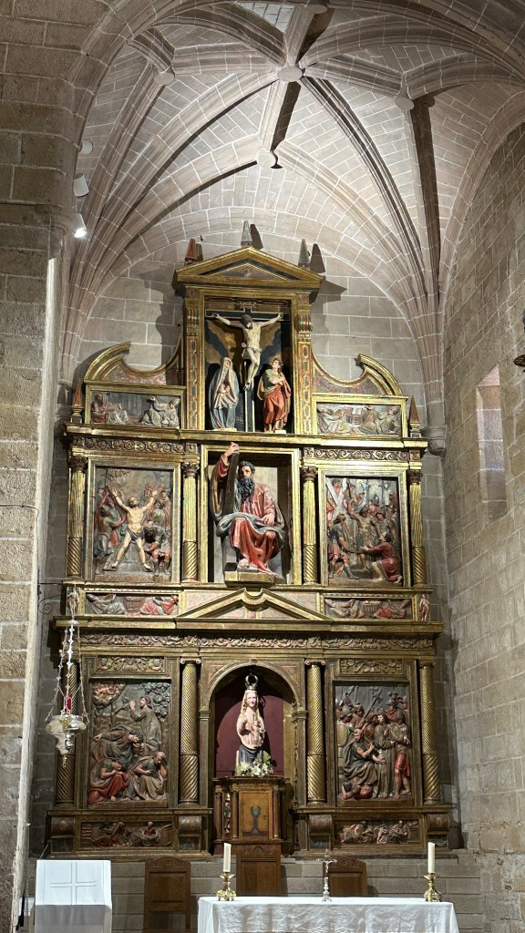
There is so much more to this story, like three proposals and three rings, going to tell our Pastor to schedule pre marriage counseling on the night of our first date. He had seen this coming much earlier than either of us. There is so much more but both of us believe that God brought us together and now we need to discern for what reason. Through study and prayer not to mention hiking through and around creation we will grow our faith and understanding.
Though I intended to resume my hike north toward Maine in April, both our journeys had brought us to a crossroads. Our paths led us to each other. We both felt it and realized very quickly that we were more than just hiking partners. Three months later we were married. Carolyn still assumed I might go and I do still plan to finish all 2200 miles. Yet my focus and my reasons for doing so understandably cannot be the same. I am starting from a new place with a new partner. Solo for the last time just means the journey continues but I have a partner to share it with.
Being out in God’s creation has brought me to a new place spiritually and I want to continue sharing my story and my journey along that path. Our spiritual journeys are continuing as we grow in faith and listen for God’s plan for us. We are excited and hope our sharing will bring others to see their own path toward peace and joy in life. The journey takes a new direction…